Table of Contents
Residents have sought clarification from Cairns Regional Council regarding the quarry expansion and been advised that the Council considers the matter closed. We are a community group working with limited resources and doing our best to understand how the approval came about. If you can help improve our understanding, please get in touch.
Introduction
Cairns Regional Council (CRC) approved a major expansion of the Redlynch hard-rock quarry behind closed doors in 2014. Residents were not aware of the decision until 2024 when – inconceivably – Boral commenced quarrying the rainforest ridge at a height of 280 metres.
If this were simply an unpopular decision, residents might have no choice but to accept it. However, in our view, the approval process itself fails to withstand proper scrutiny and raises serious concerns about how the decision was made.
There are dozens of outstanding questions, starting with the following.
- How could this be classed as a minor change?
- Are the impacts on residents objectively acceptable?
How could this be classed as a minor change?
CRC considered the development application as a ‘minor change’ to an existing development approval. As a consequence, it was not subject to public notification or consultation. It was not voted on by elected councillors at a public meeting, and was not subject to State government scrutiny.
We fail to see how the application could be considered a minor change given the following.
- It leads to a substantially different development.
- If put to public notification, it would certainly have received objections.
The ‘substantially different development’ test
The Queensland Government prescribes a ‘substantially different development’ test. According to this statutory test, a change to an existing development approval leads to a substantially different development if it:
- dramatically changes the built form in terms of scale, bulk and appearance; or
- increases the severity of known impacts.
Given that the quarry extension increases the footprint of the existing extraction area several-fold and more than doubles its height, it dramatically changes the built form in terms of scale, bulk, and appearance.
At 280 metres high, extraction moved from the foothills to tower over the valley. It will soon affect the visual amenity of thousands of residents. It has commenced at the top of a mountain ridge that has protected residents for 35 years. Those residents are now subject to constant noise and silica dust, blasting risks, and the threat of landslides.
Clearly the change results in a dramatic increase in the severity of known impacts. Verifying this is a simple matter of collating the number of complaints received by CRC, DETSI and other regulators since work commenced in 2024.
By law, a change to a development approval that leads to a substantially different development cannot be considered a minor change.
Public notification
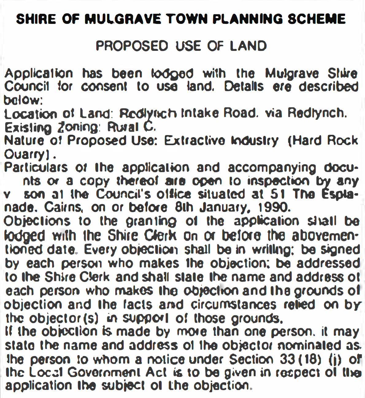 Public notice, Cairns Post, 23/12/1989
When the original development application was made more than 35 years ago, Redlynch Valley was far less developed than today. Public notification was given in the Cairns Post two days before Christmas 1989. Objections closed 8/01/1990 and a number of objections were received.
By 2014, Redlynch Valley was a well-established residential community with thousands of houses. Many residents had chosen the valley as their ‘forever home’. Developments such as the Redlynch Valley Estate had been marketed on environmental values and residents built their homes and lifestyles around these. By 2014, the thriving Redlynch Residents Facebook group had been operating for eight years.
Despite the above, while approving the major quarry extension in 2014, CRC claimed that it would be unlikely to trigger objections if it were put to public notification because “the use remains largely the same”. In our view, this is not plausible.
By law, a change to a development approval that would be likely to trigger objections cannot be considered a minor change.
A lack of transparency, compounded
Because the 2014 application was treated as a minor change it received virtually no outside scrutiny. This lack of transparency was compounded when crucial documents were not made publicly available as required.
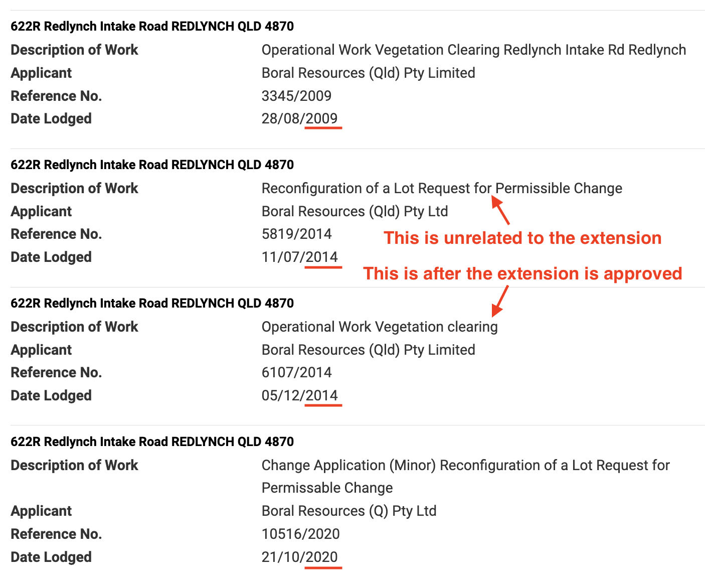 The approval history demonstrates the missing 2014 application
Of particular concern is Boral’s application, and a planning report that lays out in detail CRC’s rationale for approving the quarry extension. The application and report have never been made available on the CRC Development Application portal. Residents only uncovered them after wide-ranging requests under Right to Information laws.
Are the impacts on residents objectively acceptable?
Throughout Queensland the State government has identified areas suitable for quarrying and labeled them ‘key resource areas’. Each of these areas defines a zone for extraction/processing, and a surrounding buffer zone, known as the separation area.
The role of the buffer zone is to maintain a safe distance between extraction/processing and sensitive uses such as residential areas. According to the guidelines extraction/processing may occur in the buffer zone provided it does not compromise the role of the buffer zone.
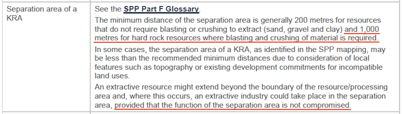 The KRA Separation Area, defined in the State Planning Policy
While extending the Redlynch Quarry, CRC approved extraction to the top of a mountain ridge inside the buffer zone, and part way down the other side.
For 35 years the mountain ridge has protected nearby residents from the harmful effects of the hard-rock quarry. Now those residents are subjected to constant industrial noise, silica dust, and the risk of rolling rocks and landslides.
The recommended distance between hard-rock blasting and sensitive areas is 1,000 metres. With the quarry inside the buffer zone and extending over the mountain ridge, residents are now living beneath a blast zone less than 270 metres away. Could it be possible to compromise the role of a buffer zone more completely?
…residents are now living beneath a blast zone less than 270 metres away. Could it be possible to compromise the role of a buffer zone more completely?
While approving the quarry extension, CRC consistently noted the extension is within the key resource area. It omitted the vital fact that it extends well into the buffer zone of that key resource area.
It appears that, at a time when the CRC should have been applying the State guidelines to protect residents, it was instead misinterpreting them in a way that benefited the quarry operation.
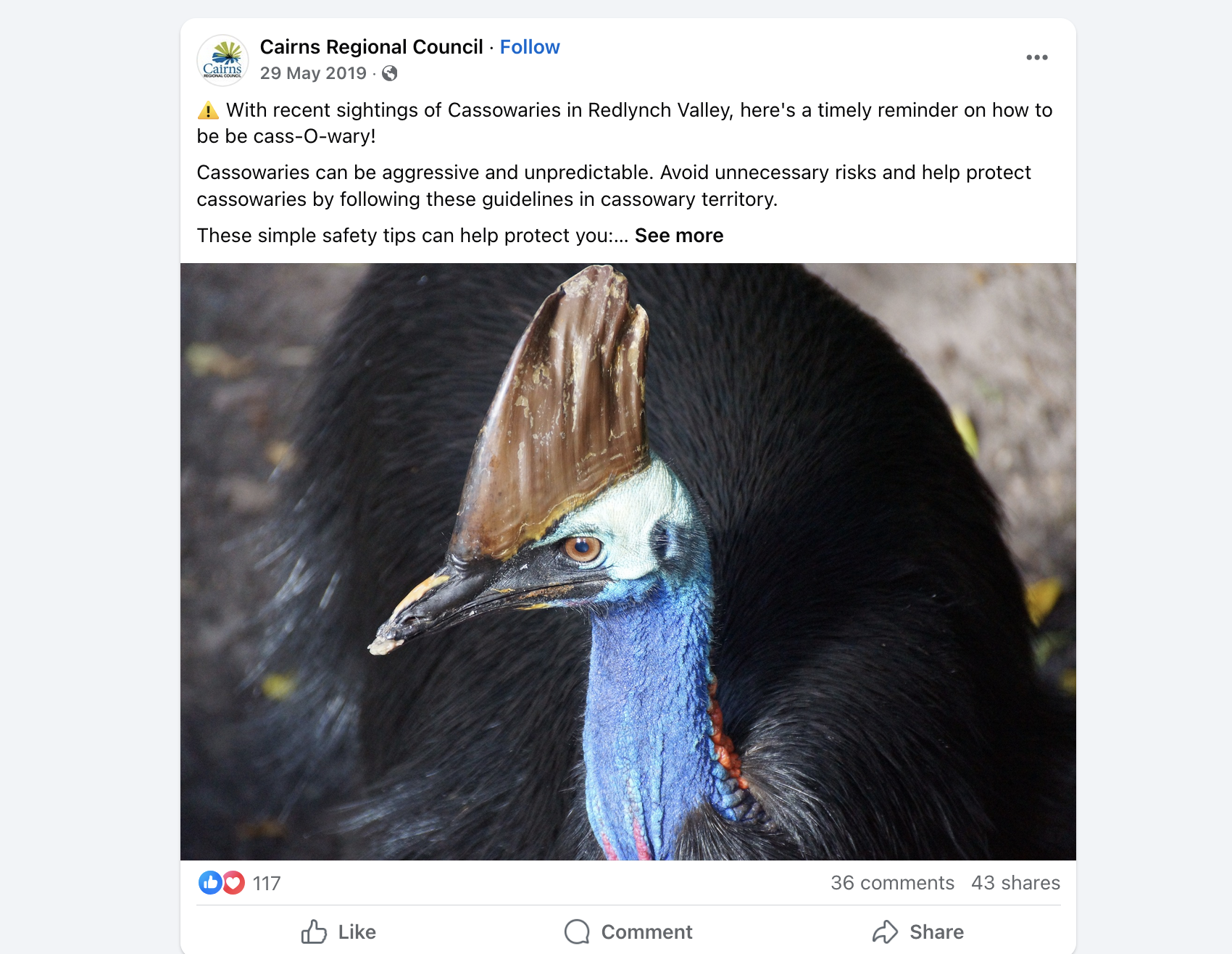
Cassowaries, Vegetation and the Environment
In 2014, immediately after the approval was secured, Boral used it to support a State-level application for vegetation clearing – including clearing cassowary habitat – and to argue its case under federal government environmental legislation.
The State-level vegetation clearing application was referred to Queensland’s Department of Environment, Tourism, Science and Innovation (DETSI). However, since CRC had previously zoned the area as a Special Facility the Vegetation Management Act 1999 was effectively silenced. DETSI returned the application to CRC where it was subsequently approved.
The submission to the federal Department of Climate Change, Energy, the Environment and Water (DCCEEW) sailed through unchallenged. We believe it contains a significant degree of false and misleading information, the most troubling of which systematically minimises the likelihood of protected species, including cassowaries.
A report attached to the submission states that the Atlas of Australian Living identified only two cassowary specimens within a five kilometre radius of the site, dates unknown. It goes on to state that “There are no known recent sightings for the Cassowary within close proximity to the application area.”
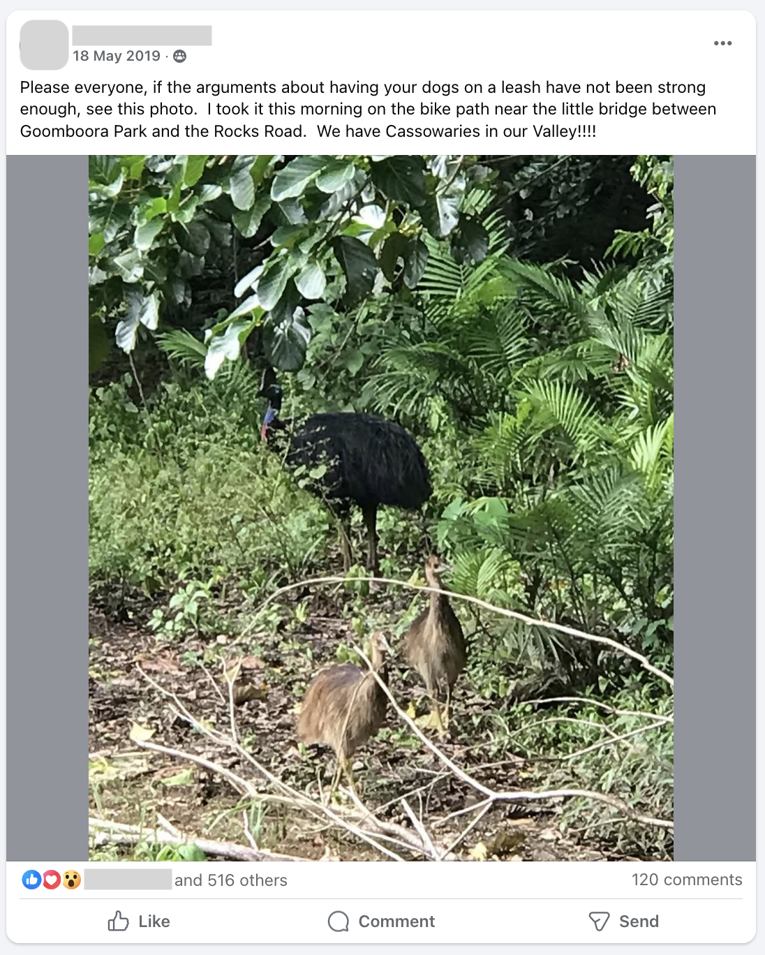
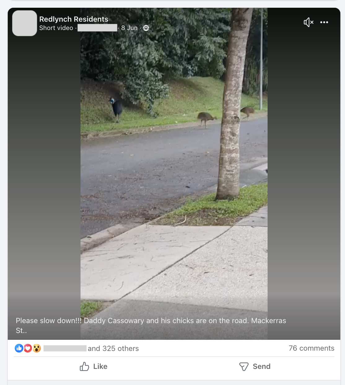

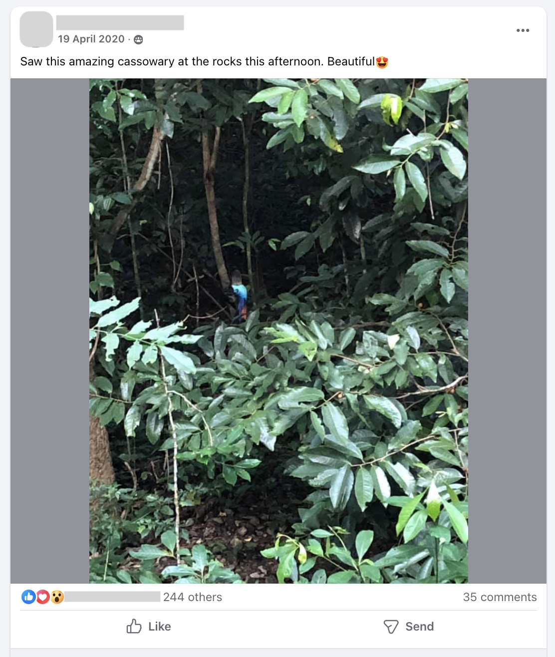
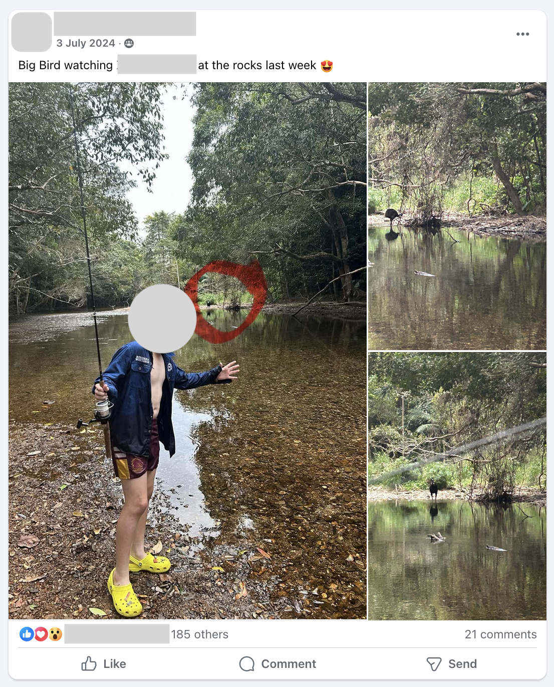
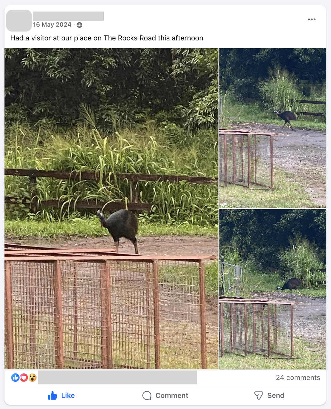
However, even a brief search of publicly available sources — including community Facebook pages — reveals dozens of cassowary sightings in the immediate vicinity of the quarry since 2016, including on the property directly adjacent to it. The sightings include significant detail in the form of videos, photos, commentary, and discussions on the habits of the animals.
These sightings, recorded from 2016 onwards, include mature adults as well as chicks, strongly suggesting that an active local population existed prior to 2014.